
Study warns flawed global forest maps could derail climate action, biodiversity goals and poverty planning
Bengaluru, NAFPost: A growing reliance on satellite-based forest maps—central to climate policy, conservation planning and development programmes—may be resting on shaky ground. A new global study has found that widely used forest datasets often disagree sharply on what constitutes a forest, raising serious concerns about the accuracy of climate and biodiversity assessments worldwide.
According to research led by scholars from the University of Notre Dame, global forest maps derived from satellite imagery concur on forest locations only 26 per cent of the time. The findings, published in the journal One Earth, suggest that this mismatch could significantly undermine efforts to address climate change, biodiversity loss and poverty—areas where forest data plays a pivotal role.
“Forests are essential to tackling the triple crises of climate change, biodiversity loss, and poverty,” the authors wrote. “Yet our research shows that global forest maps frequently disagree on what counts as a ‘forest’, introducing substantial uncertainty into these global efforts.”
Orders-of-magnitude uncertainty
The implications are far from academic. The researchers found that estimates of key indicators—such as carbon stored in forests or populations living near forested areas—can vary dramatically depending on the dataset used, sometimes by a factor of ten.
“Ten global forest datasets agreed on only 26 per cent of mapped forest area,” the study noted, highlighting the scale of the discrepancy across some of the most authoritative datasets currently informing global policy.
Explaining the root of the problem, co-author Daniel C. Miller, associate professor at Notre Dame’s School of Global Affairs, said the ambiguity stems from how forests are defined when viewed from space.
“When land is viewed from the sky, it’s difficult to know at a global scale whether something is a forest or not,” Miller said. “Some may consider a small patch of trees to be a forest, while others reserve that label for large, dense expanses.”
Real-world consequences
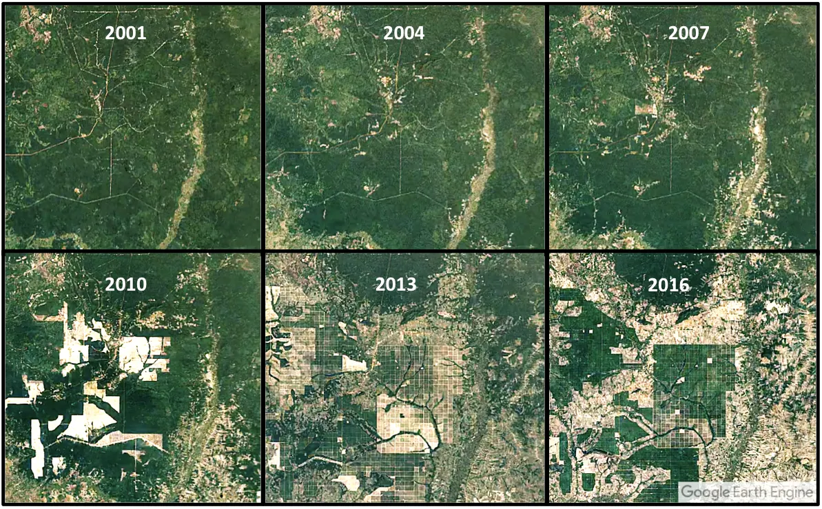
To demonstrate how these digital disagreements translate into real-world impacts, the study examined three case studies: forest carbon accounting in Kenya, forest–poverty linkages in India, and biodiversity habitat mapping in Brazil.
In India alone, estimates of the number of people living in poverty near forests in 2016 ranged from 23 million to 252 million, depending entirely on which forest map was used. Such wide variation, the authors warn, complicates efforts to identify communities affected by forest-related policies and threatens progress toward the UN’s Sustainable Development Goals (SDGs).
“Identifying who is affected by forest policy decisions is critical for meeting global development targets,” the researchers emphasised.
Bridging space and soil
Looking ahead, the study calls for a new generation of hybrid datasets that combine satellite observations with ground-based data and local knowledge.
“By bridging the gap between satellite technology and on-the-ground reality, we can provide more accurate, inclusive data,” Miller said. “Data that truly supports both the planet and the people who protect it.”
As governments and global institutions increasingly turn to space-based intelligence to guide climate and conservation strategies, the study serves as a cautionary reminder: when satellites disagree on forests, the costs are borne not just by ecosystems—but by people and policies worldwide.