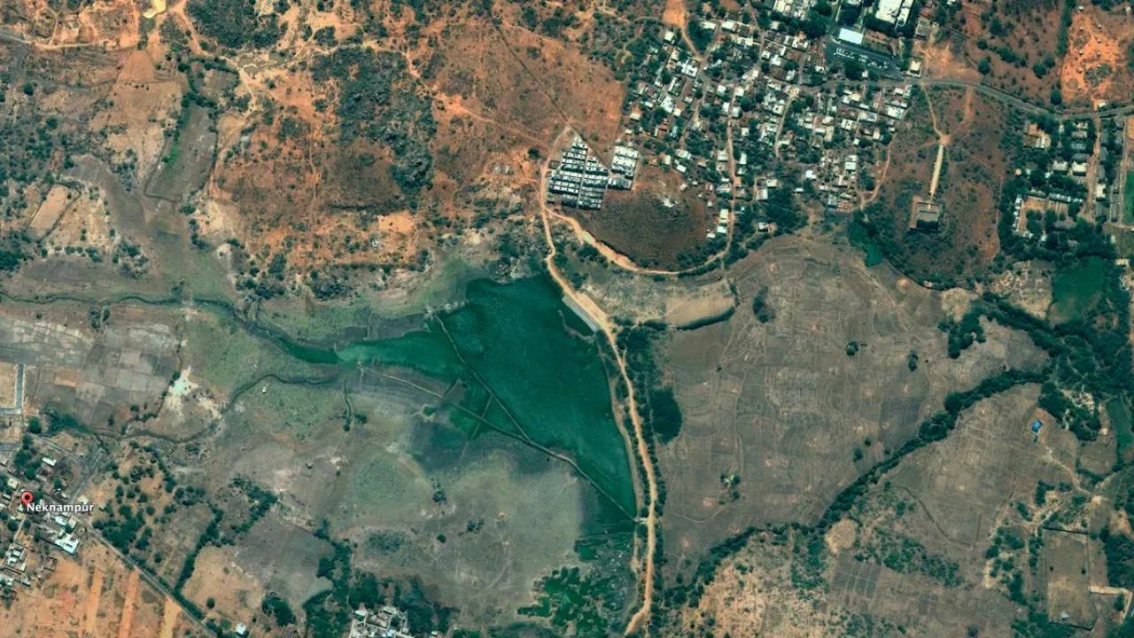
Historical satellite images of India from the past two decades have reportedly disappeared from Google Earth, raising concerns among scholars and researchers. These images are valuable for monitoring changes in topography, forest cover, urban development, and historical analysis. While satellite imagery from 2020 is still accessible for certain Indian locations, a noticeable absence of historical imagery is evident, particularly in Amritsar. Interestingly, nearby Lahore in Pakistan still has historical imagery available from the past few decades.
In response to inquiries about the missing data, a Google spokesperson explained that the company is currently reprocessing some of the historical imagery in the Historic Image database of Google Earth Pro 7, with plans to make it available again later this year. However, it remains unclear whether the disappearance of the data is connected to policy changes or a directive from the Indian government.
Historical satellite imagery has become an invaluable resource for tracking landscape changes over time. It enables the identification of transformations such as the disappearance of lakes, encroachments on water bodies, and the impact of civic projects like the Secretariat in Hyderabad or the new Parliament building in New Delhi. The availability of high-resolution images dating back to 2000 has been greatly missed by users of the free online mapping service.
Addressing the significance of geospatial data, the Indian Union Cabinet has recently approved the “National Geospatial Policy-2022.” This policy recognizes geospatial data as a crucial national infrastructure and information resource, possessing evident societal, economic, and environmental value. A key objective of the policy is to foster an enabling ecosystem for Indian companies, promoting self-reliance in producing and utilizing their own geospatial data and empowering them to compete with foreign companies globally.
In summary, the disappearance of historical satellite images of India on Google Earth has raised concerns among researchers and scholars. While Google has indicated that they are working on reintroducing the data later this year, questions about the underlying reasons behind this removal, such as policy norms or government involvement, remain unanswered. The preservation and accessibility of geospatial data hold significant importance, as they offer valuable insights into the evolving landscape and help drive national development and competitiveness.


