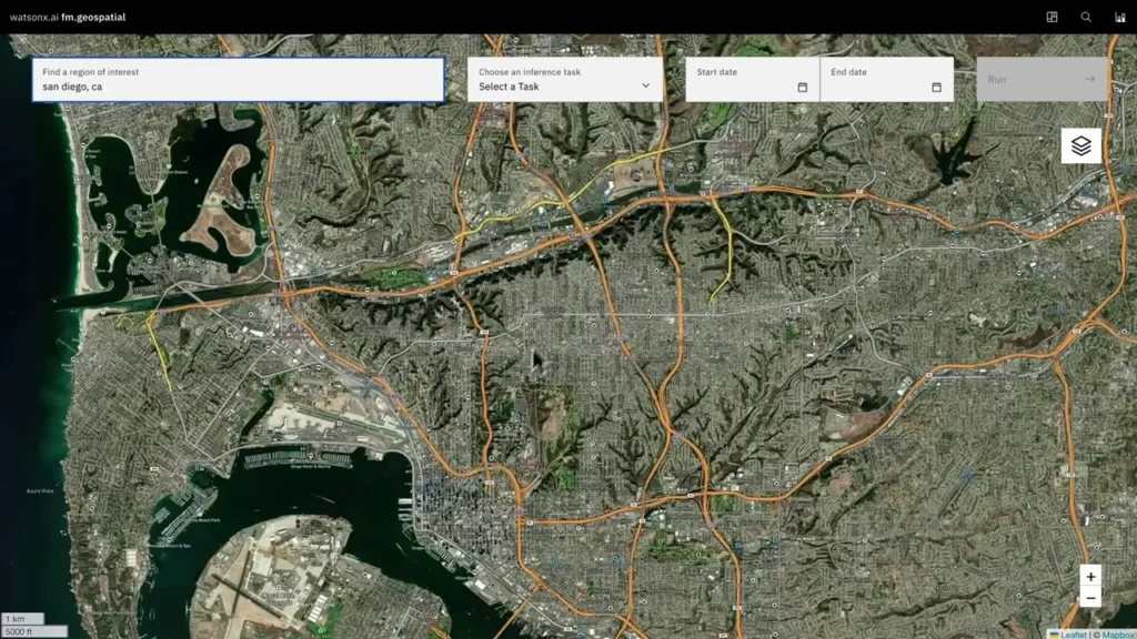
IBM and NASA have joined forces to introduce a revolutionary geospatial foundation model that can convert satellite data into highly detailed maps of natural disasters, such as floods and fires, as well as other landscape transformations. These maps offer valuable insights into the Earth’s history and provide a glimpse into its future. The collaborative effort aims to make this geospatial solution accessible for preview by the latter half of this year. The platform’s potential applications are far-reaching, including assessing climate-related risks to agriculture, infrastructure, and buildings, evaluating forests for carbon-offset initiatives, and assisting businesses in developing strategies to address and adapt to climate change through the use of predictive models.
IBM’s new geospatial foundation model, which is part of their watsonx.ai geospatial offering, is specifically designed to transform NASA’s satellite observations into customized maps of environmental changes and natural disasters. IBM plans to make this model available for preview to their clients through the IBM Environmental Intelligence Suite (EIS) in the second half of this year. This technology has diverse applications, such as estimating climate-related risks to crops, buildings, and other infrastructure, monitoring and valuing forests for carbon-offset programs, and developing predictive models that help enterprises formulate strategies to mitigate and adapt to climate change.
The collaboration between NASA and IBM aims to simplify the analysis and interpretation of the vast datasets collected by NASA on Earth processes, making them more accessible to researchers. This joint effort is in line with NASA’s Open-Source Science Initiative (OSSI), which seeks to foster an inclusive, transparent, and collaborative open science community in the coming decade.


